
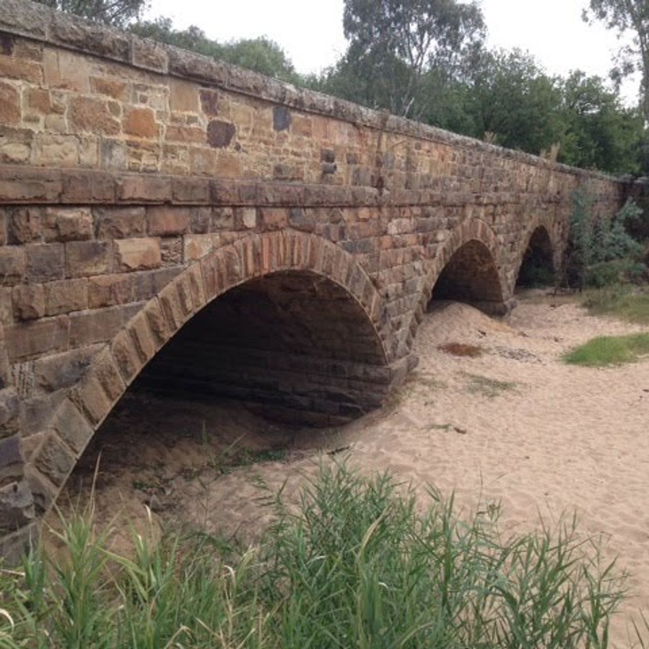
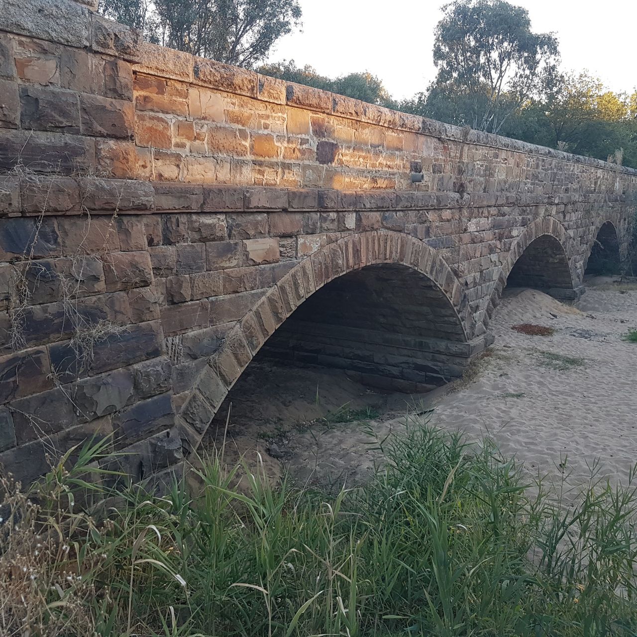
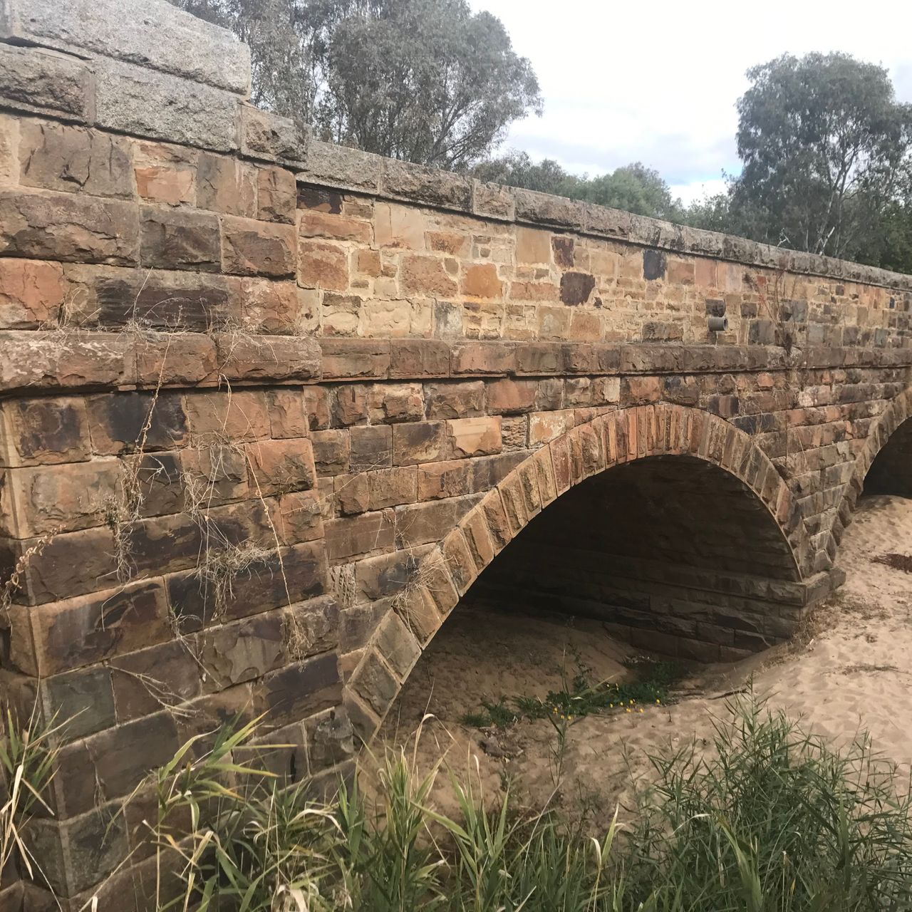
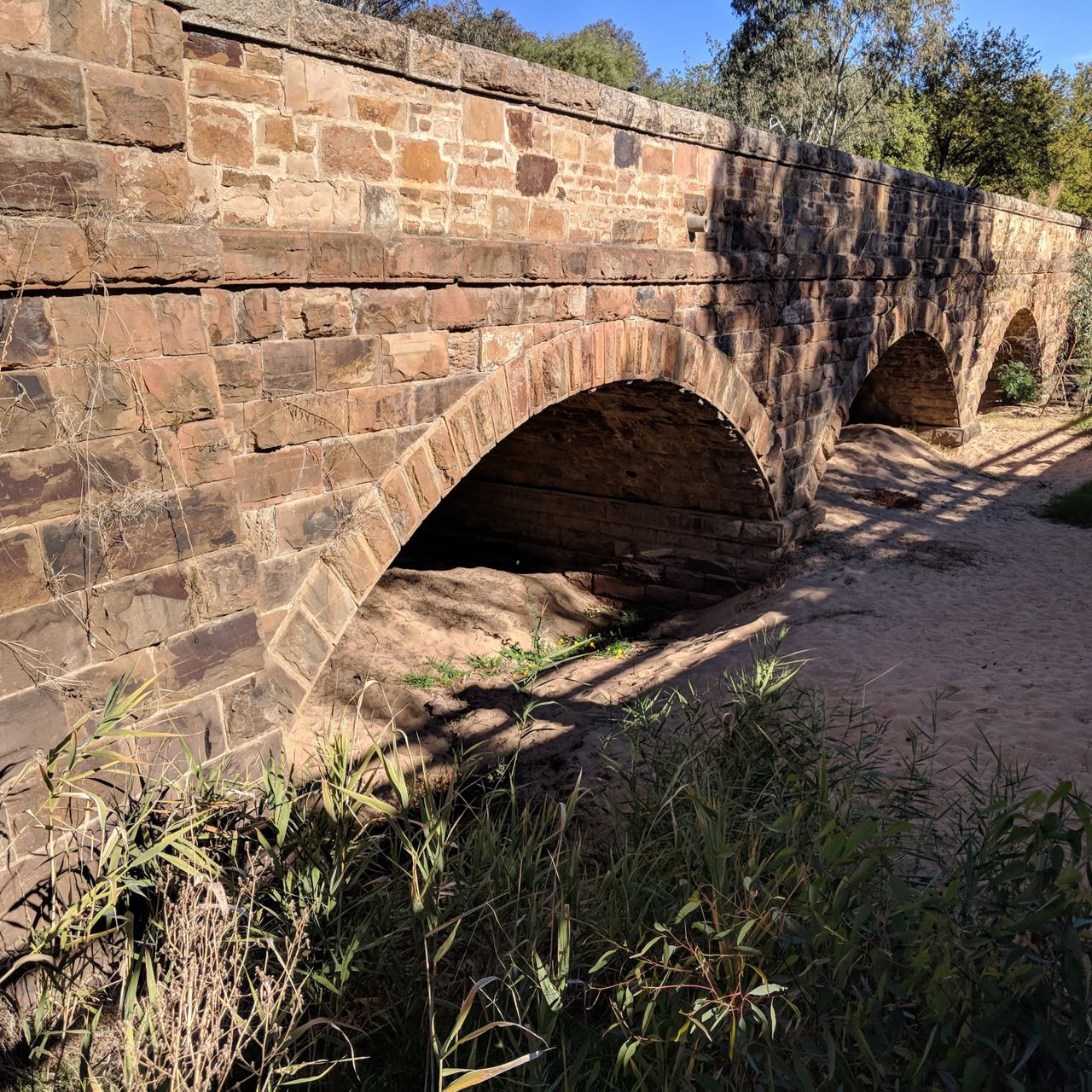
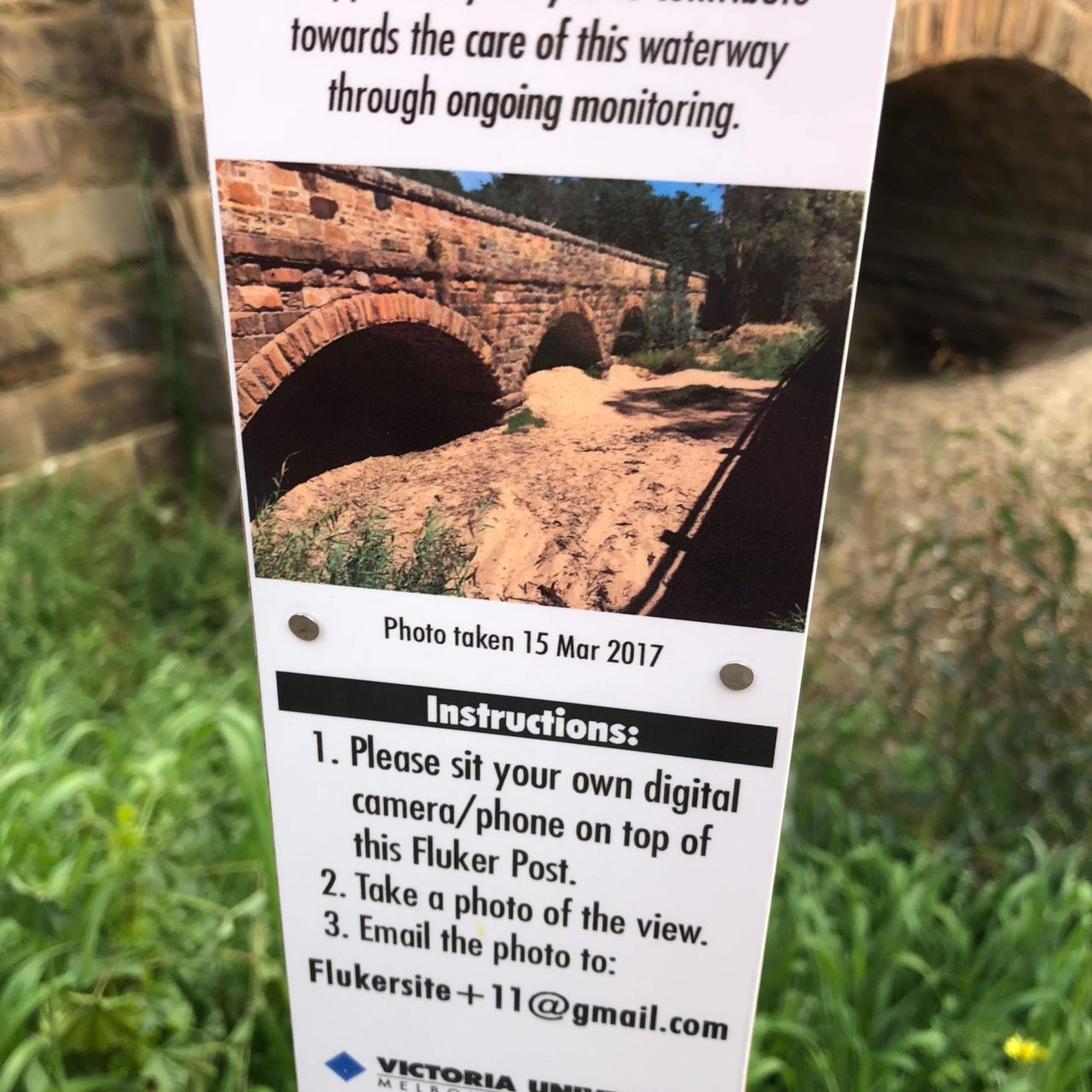
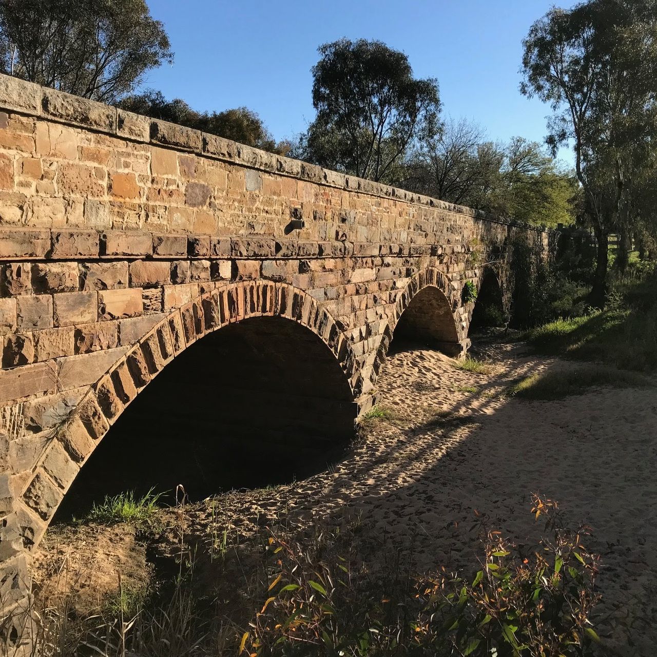
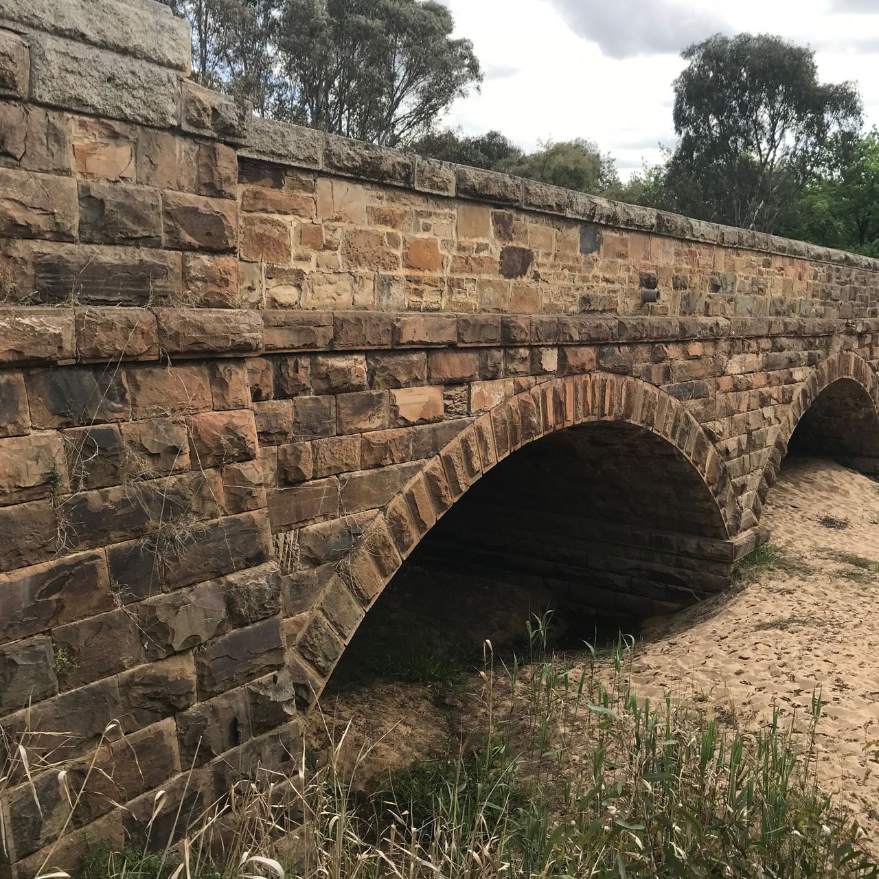
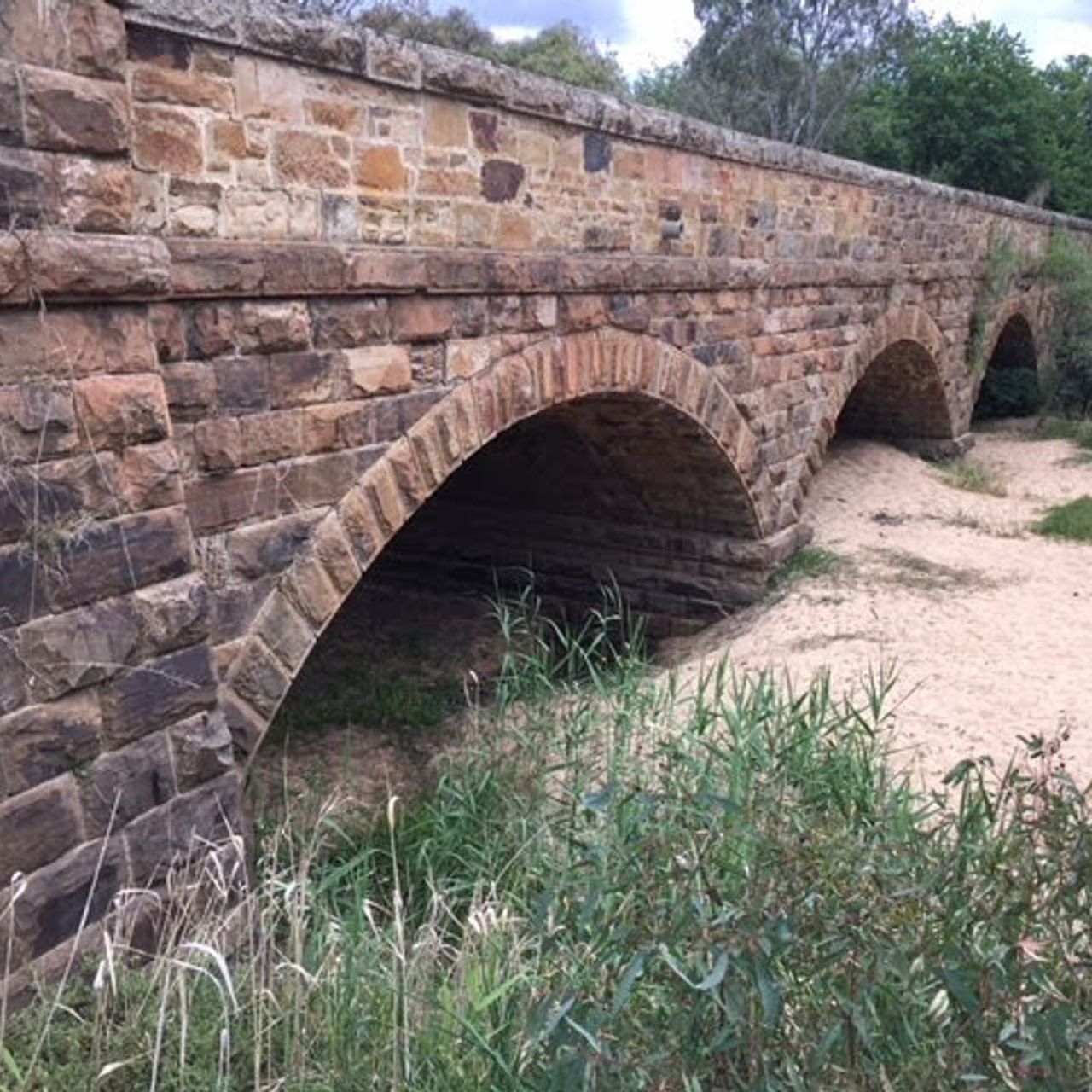
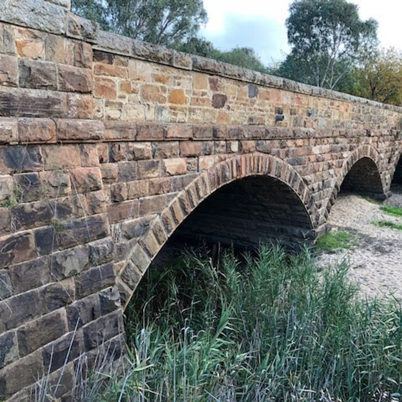
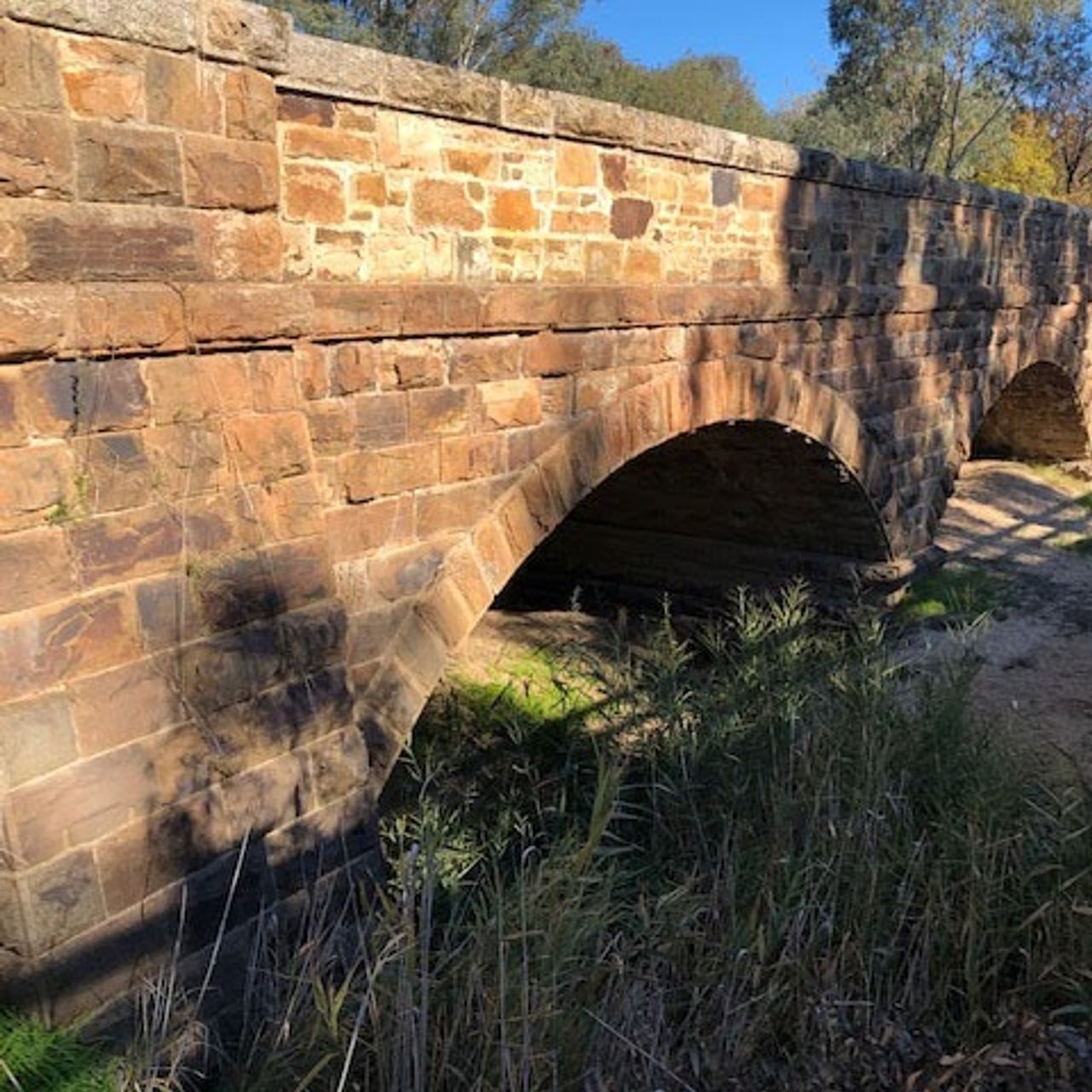
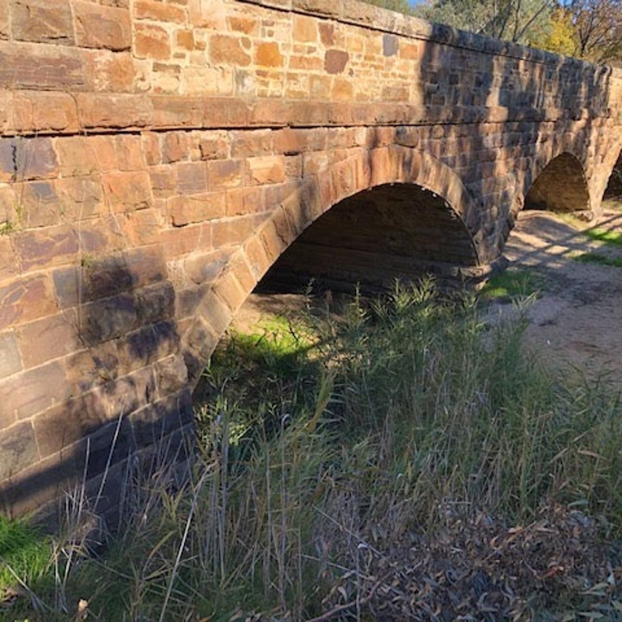
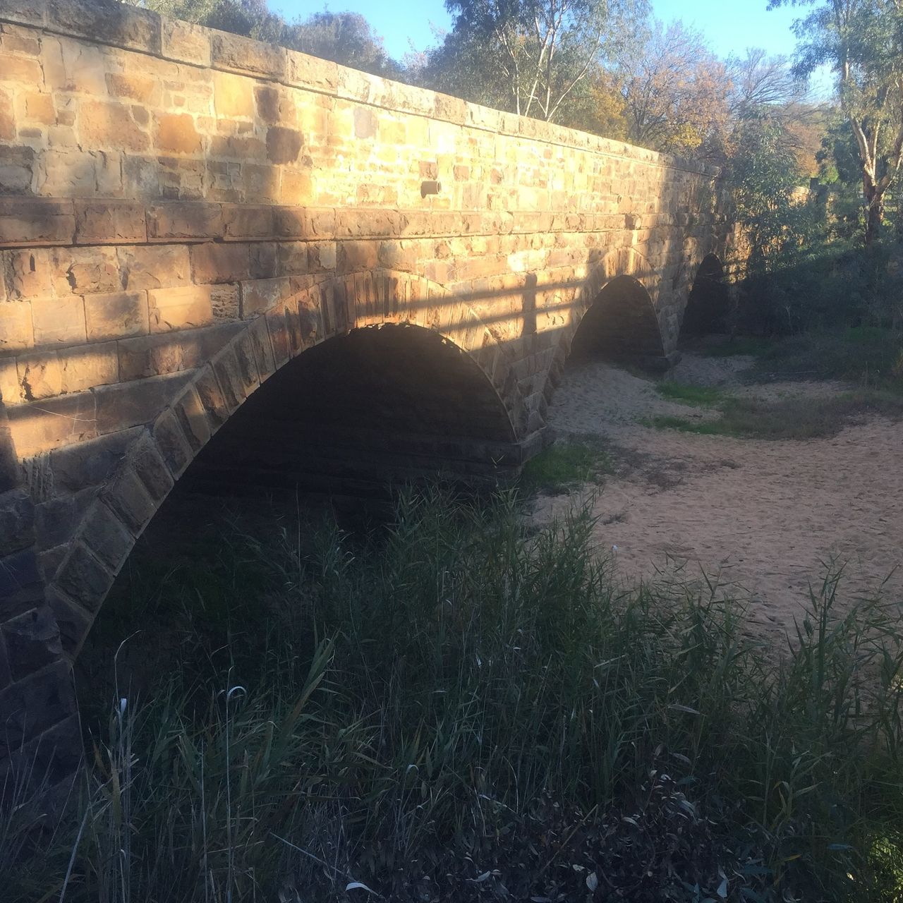
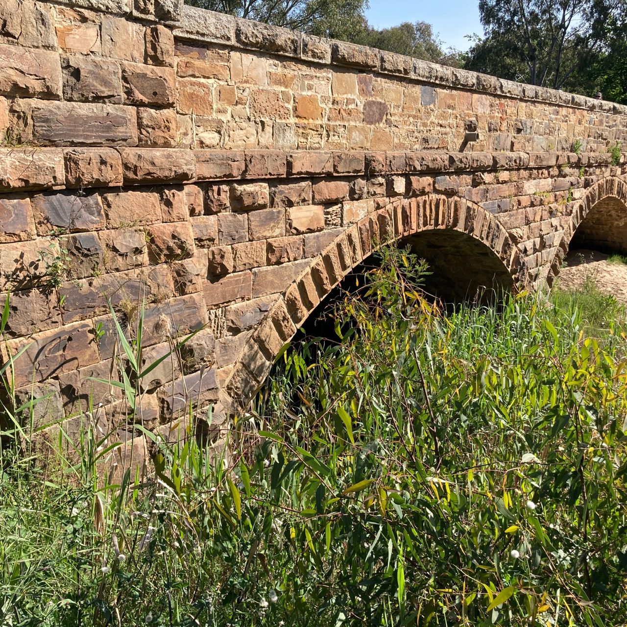
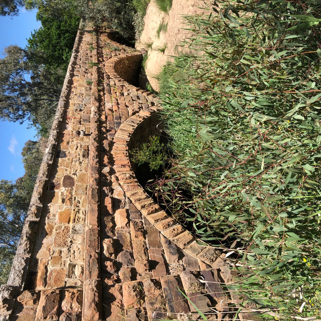
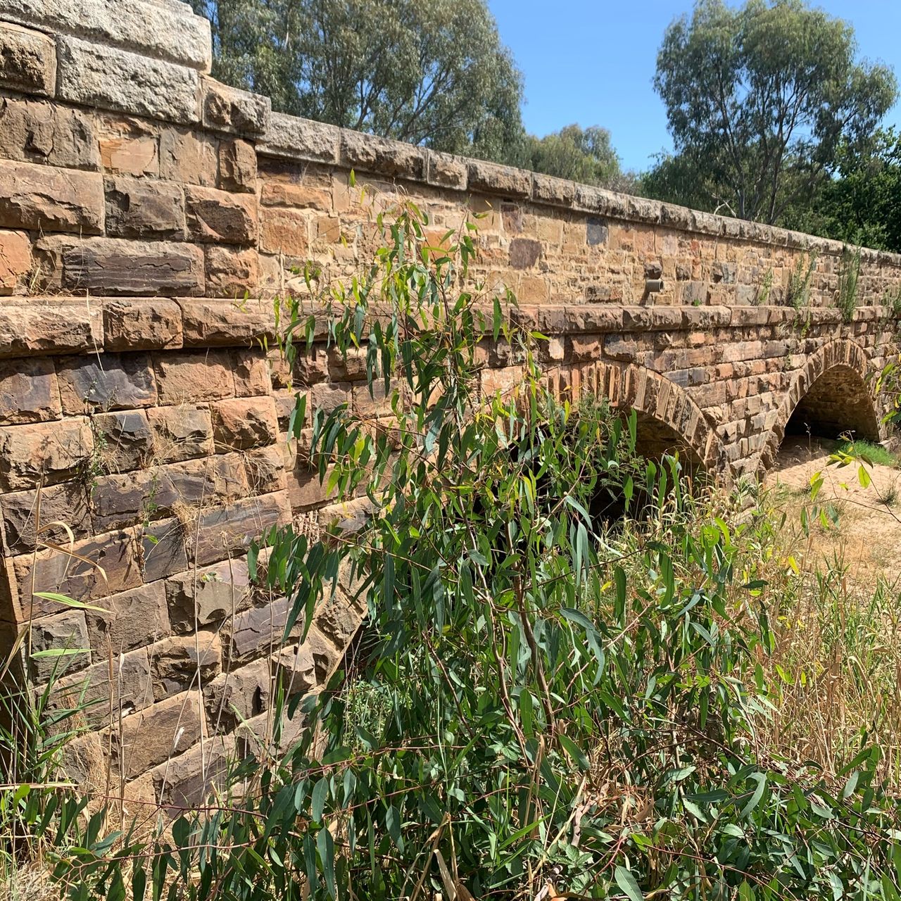
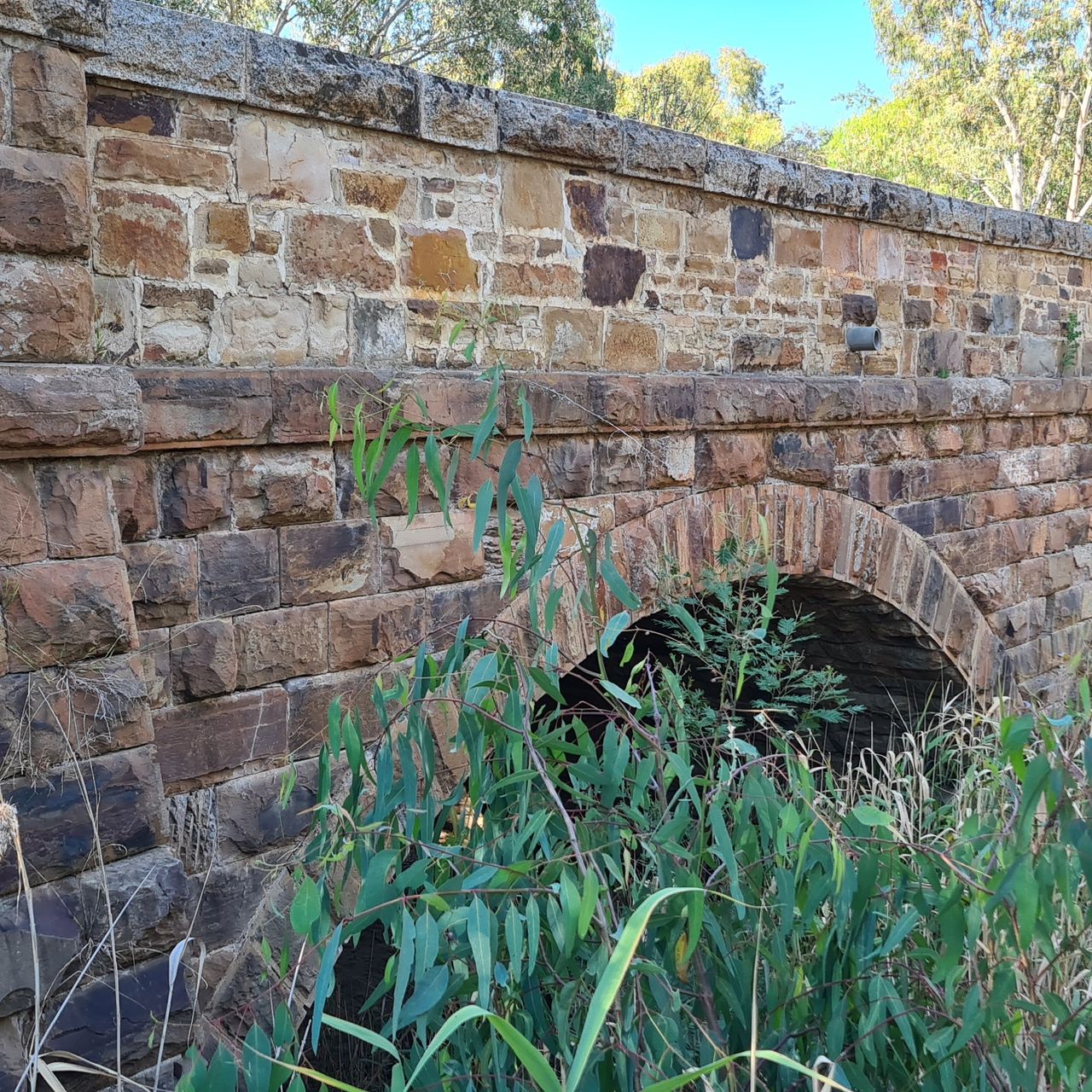
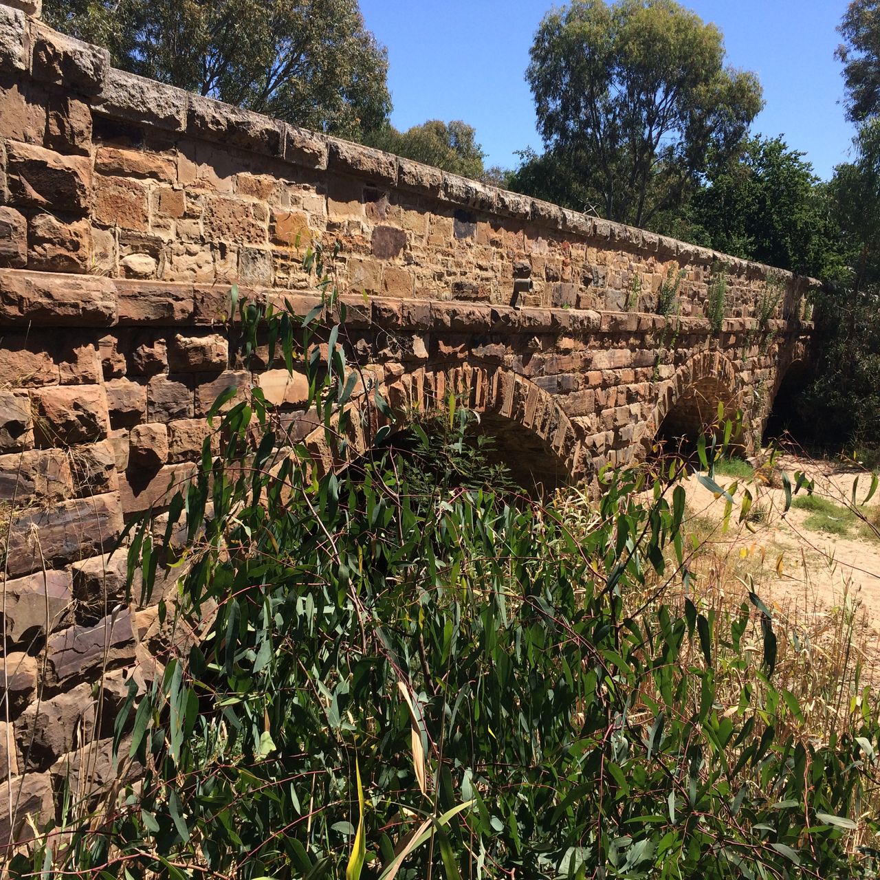
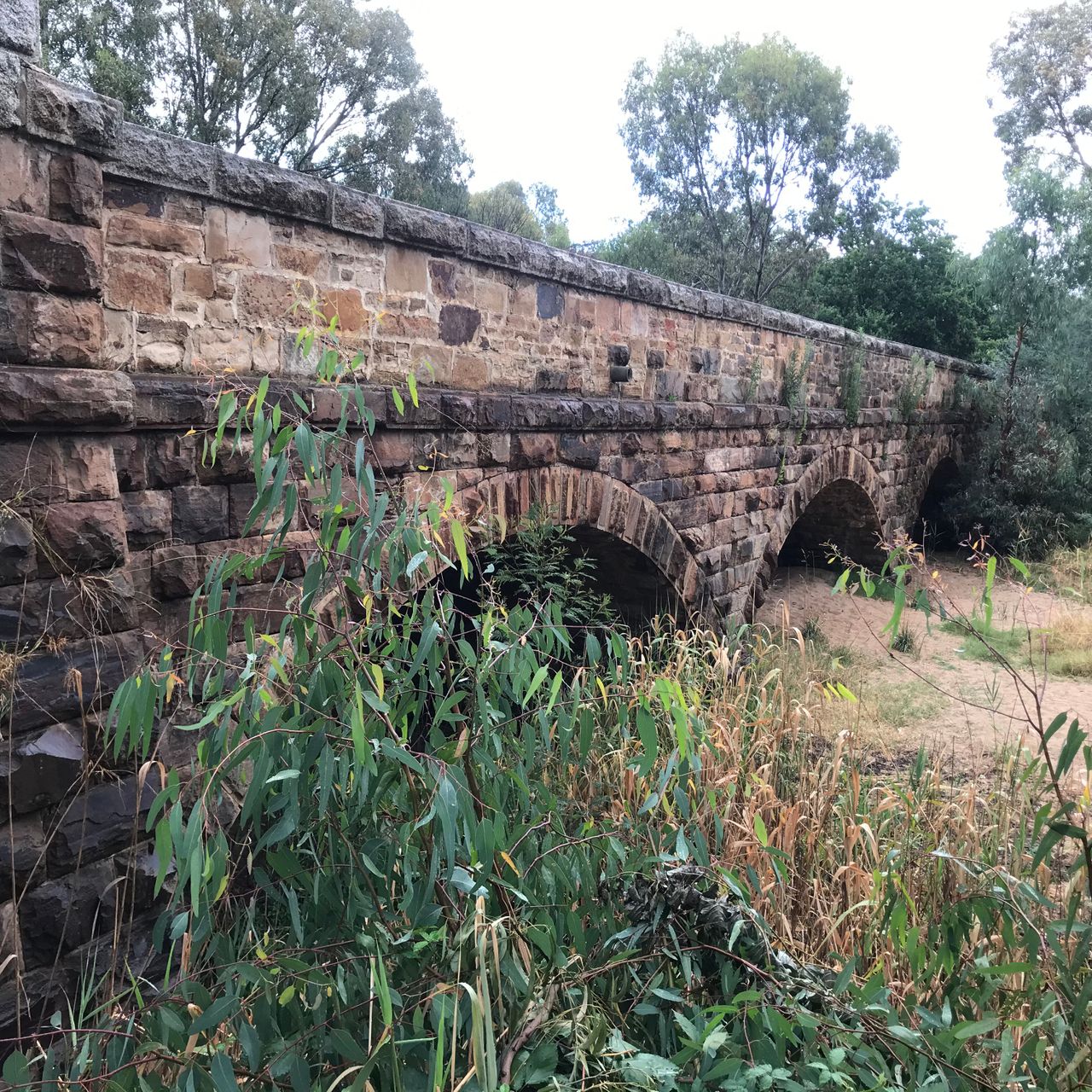
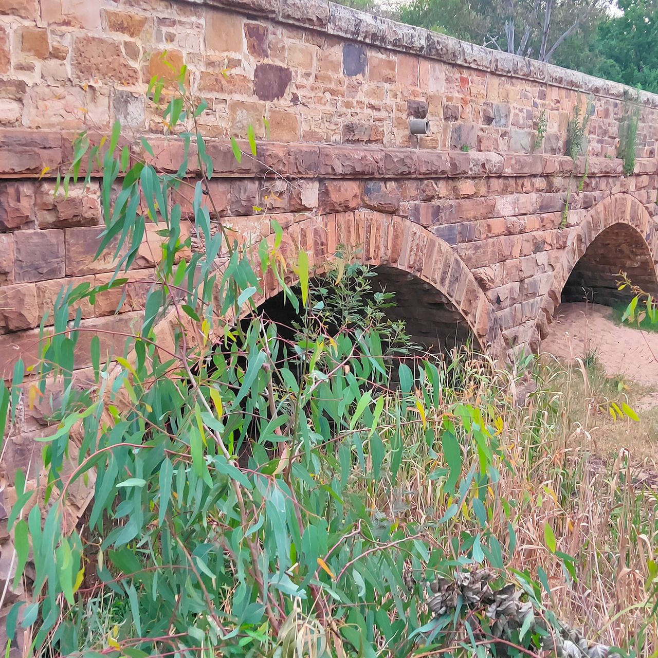
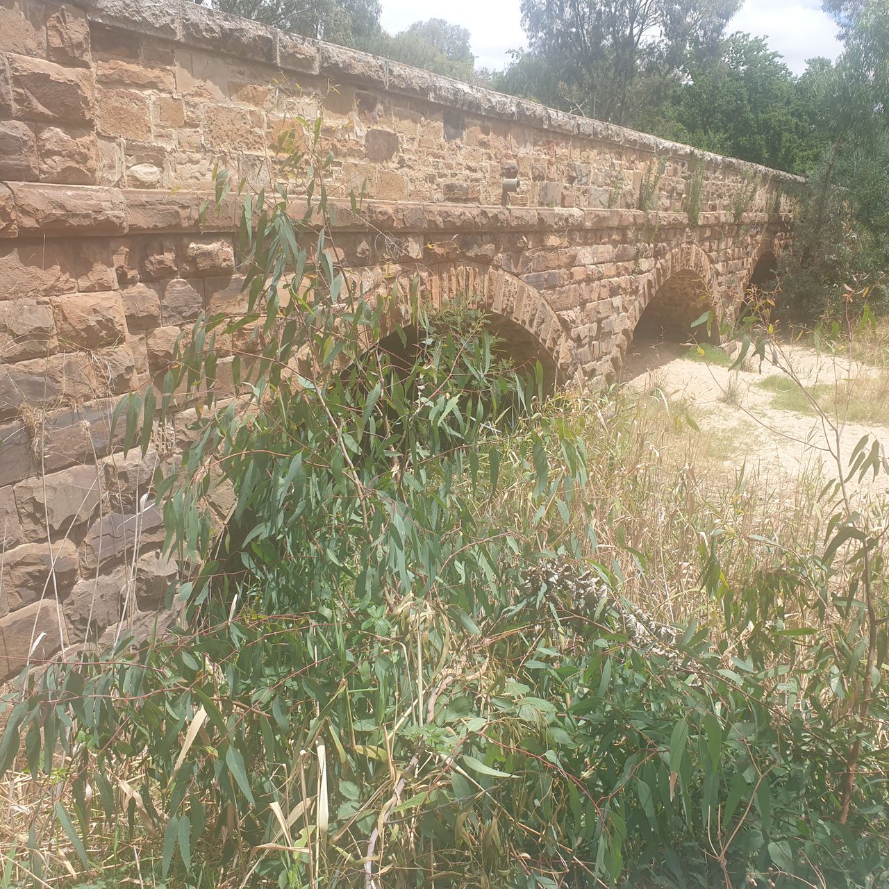
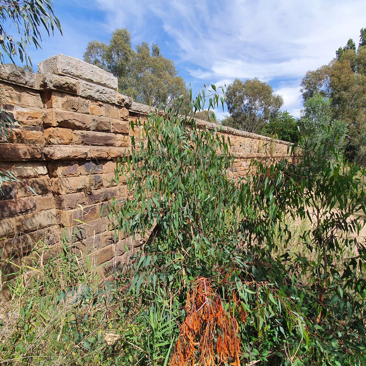
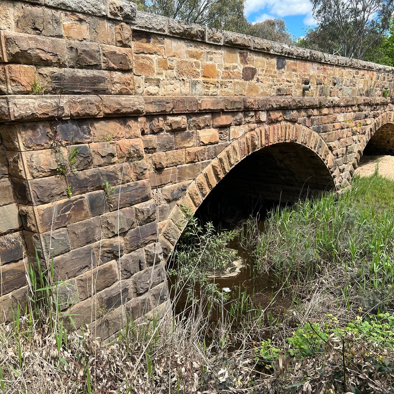
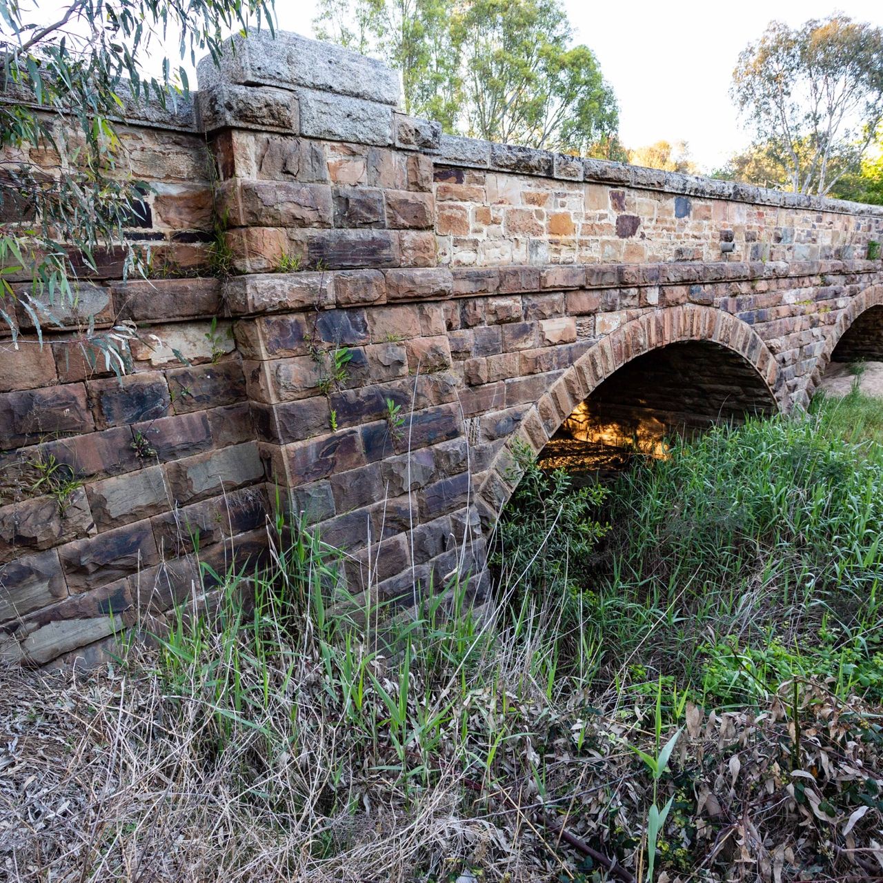
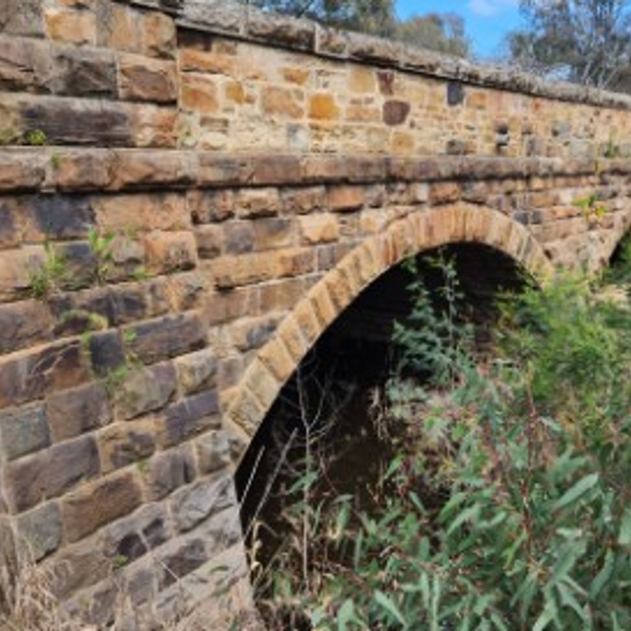
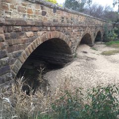
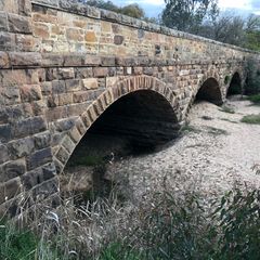
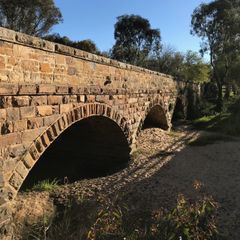
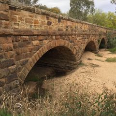
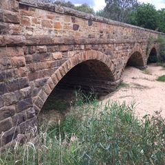
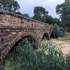
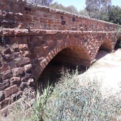
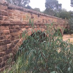
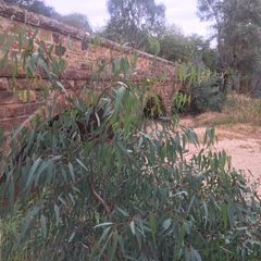
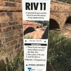
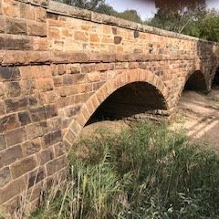
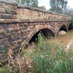
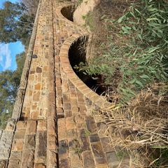
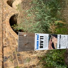
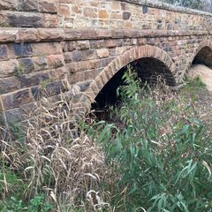
RIV11 Hughes Creek
Flagship Waterways
12
Years
84
Photos


2010
2017


2018


2019
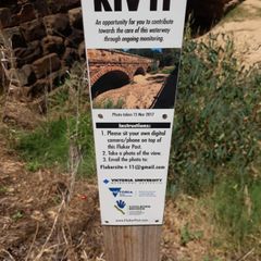


2020


2021


2022
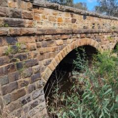

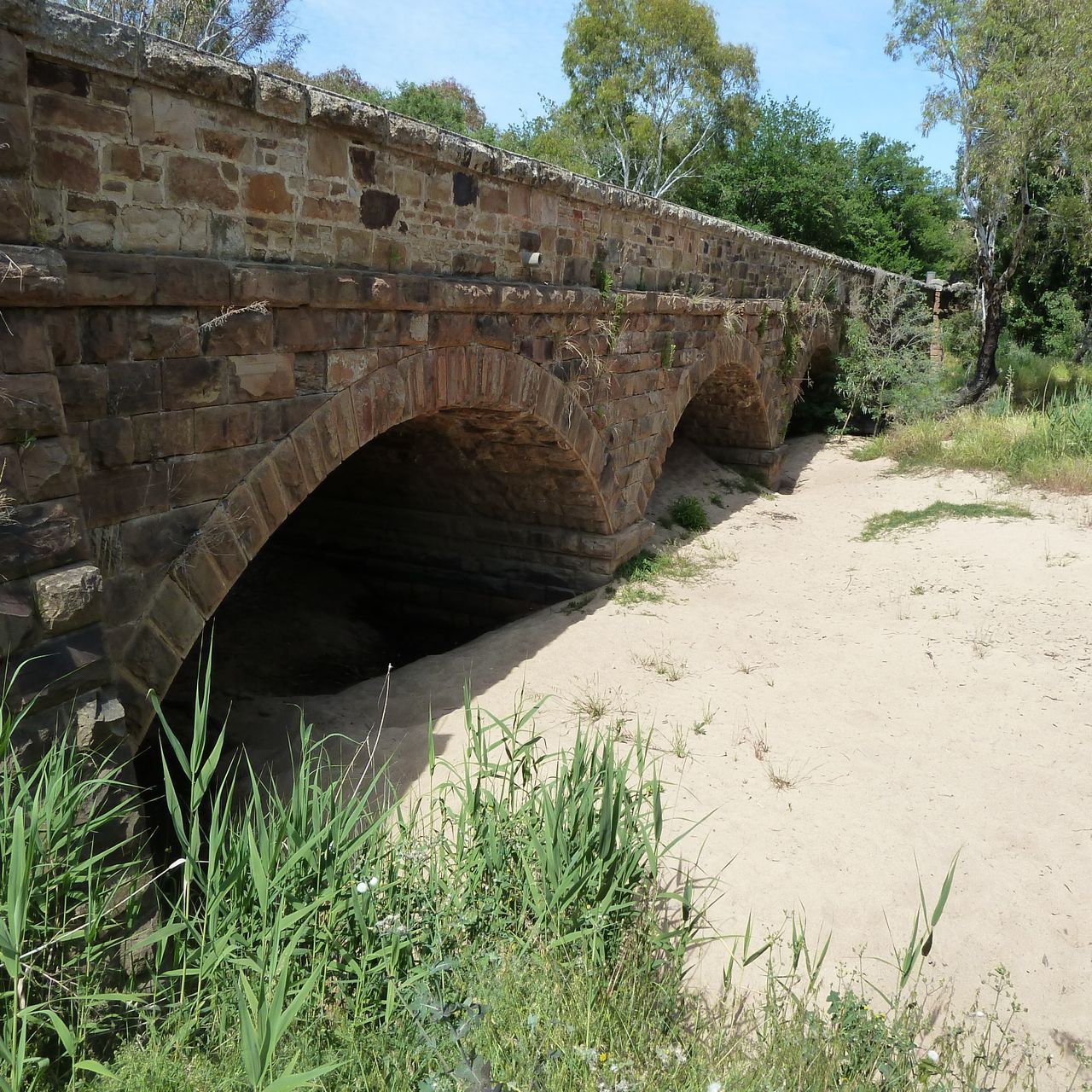
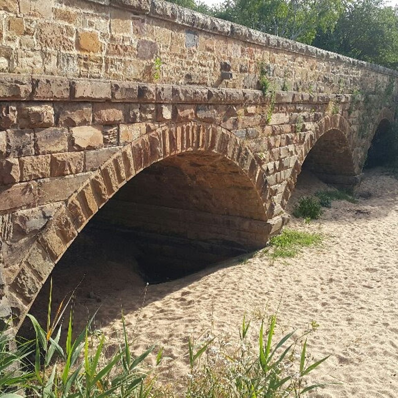
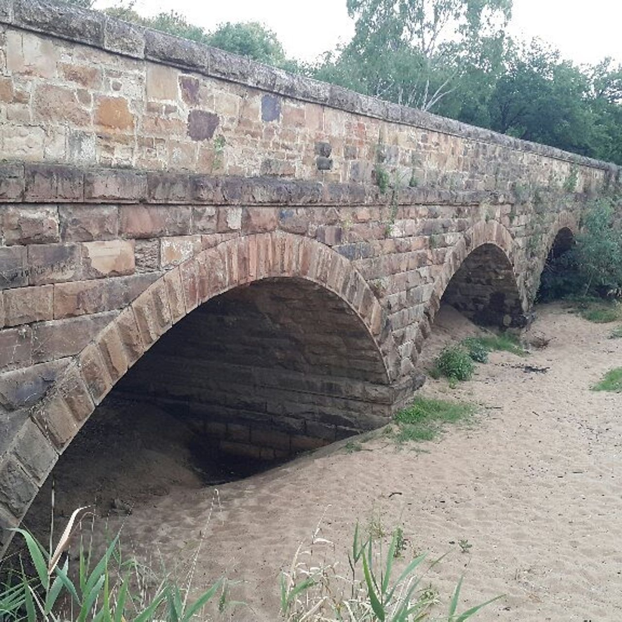
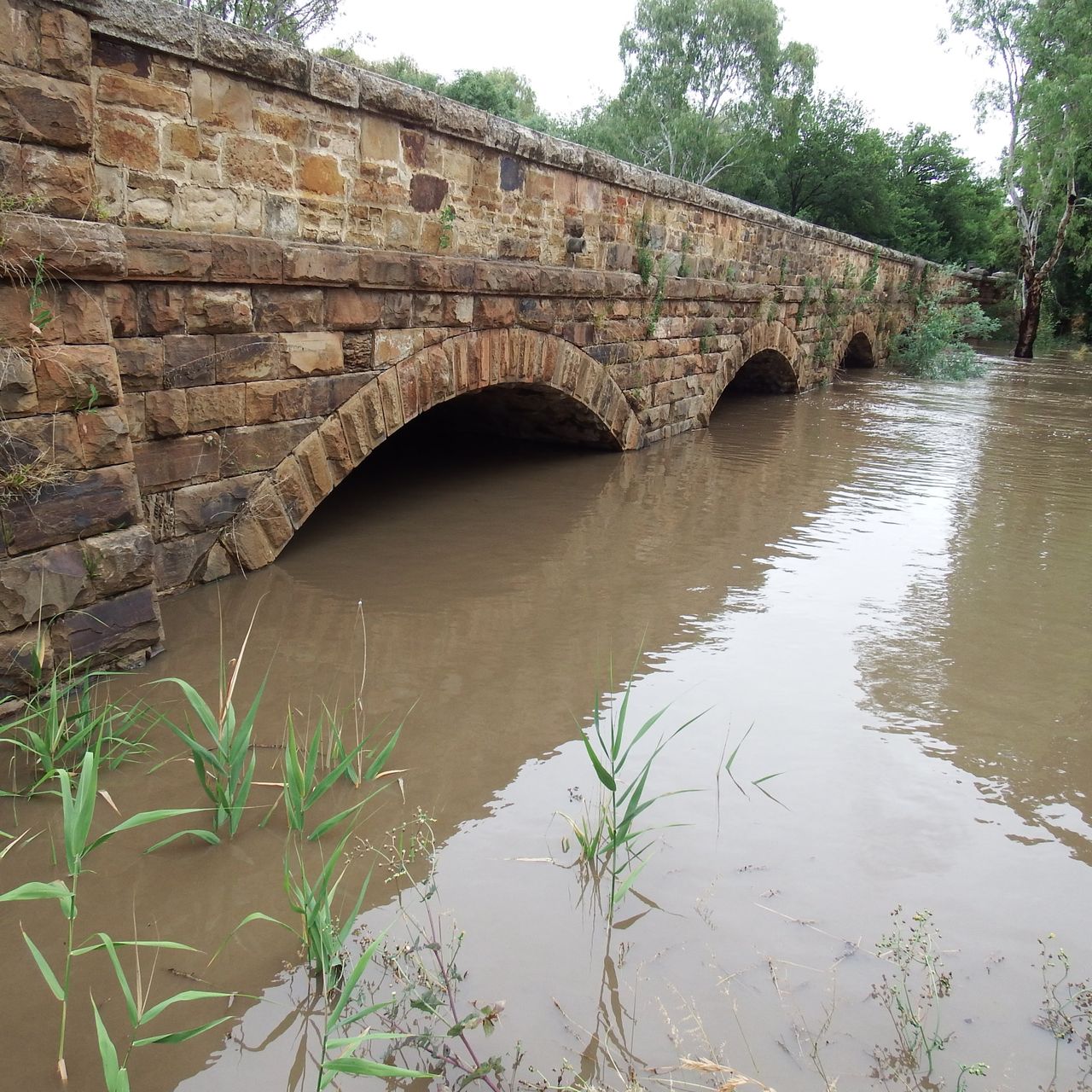
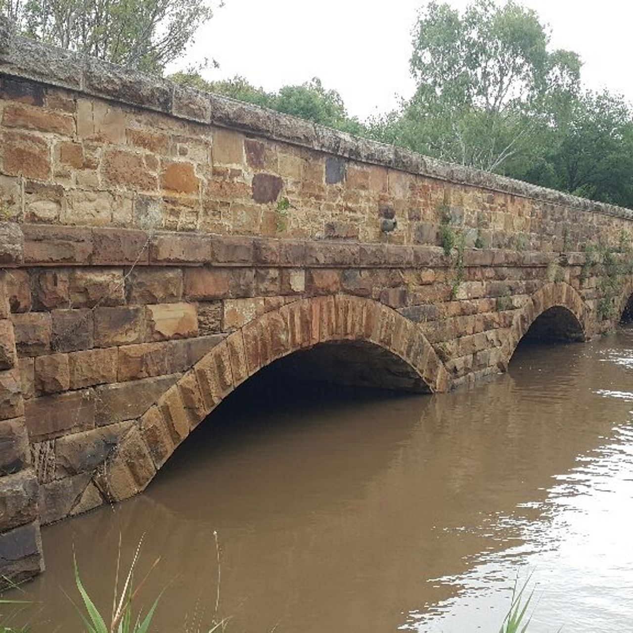
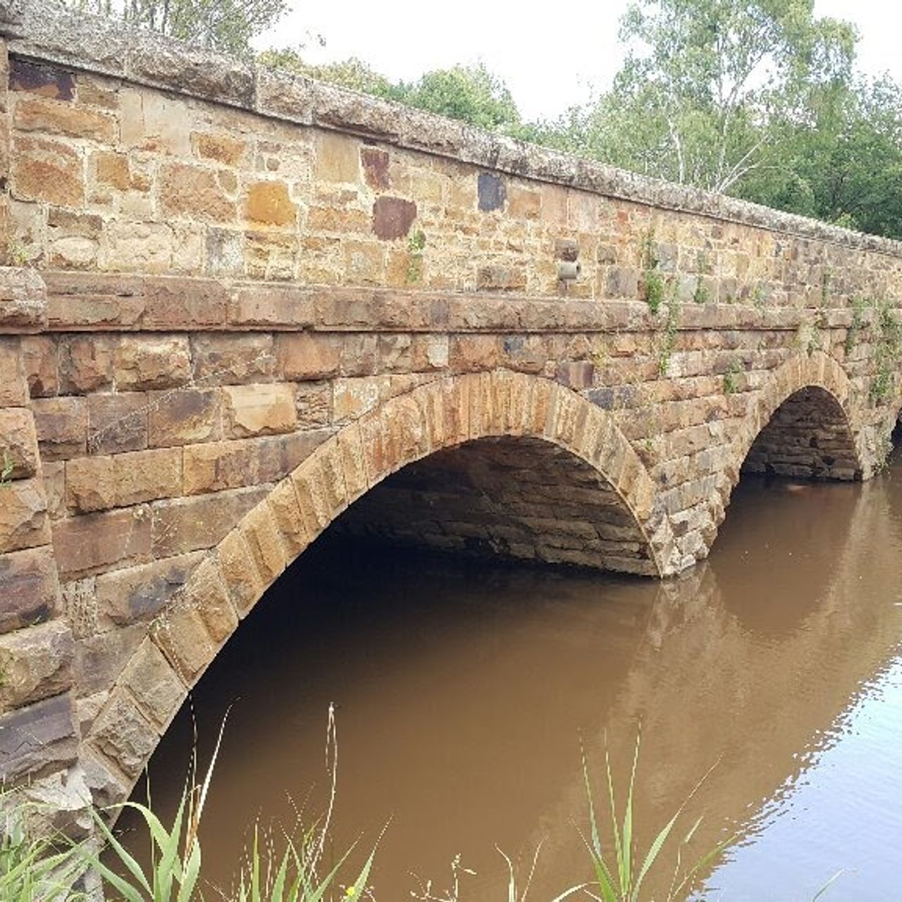
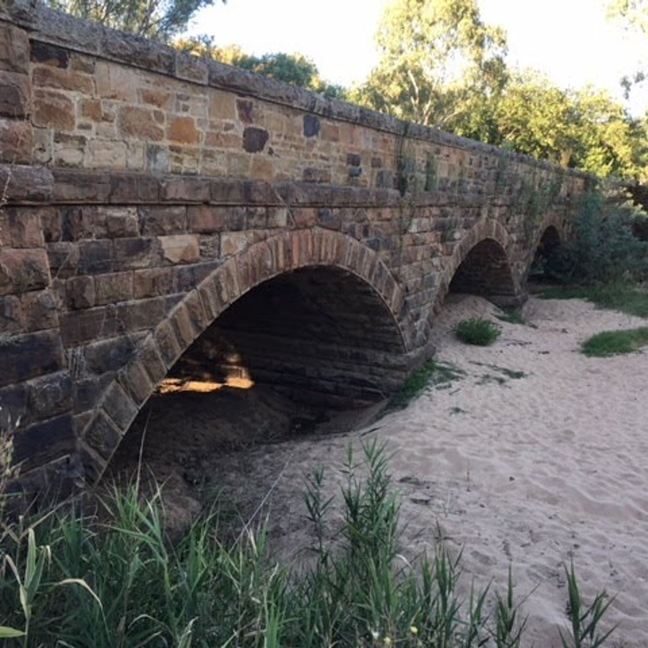
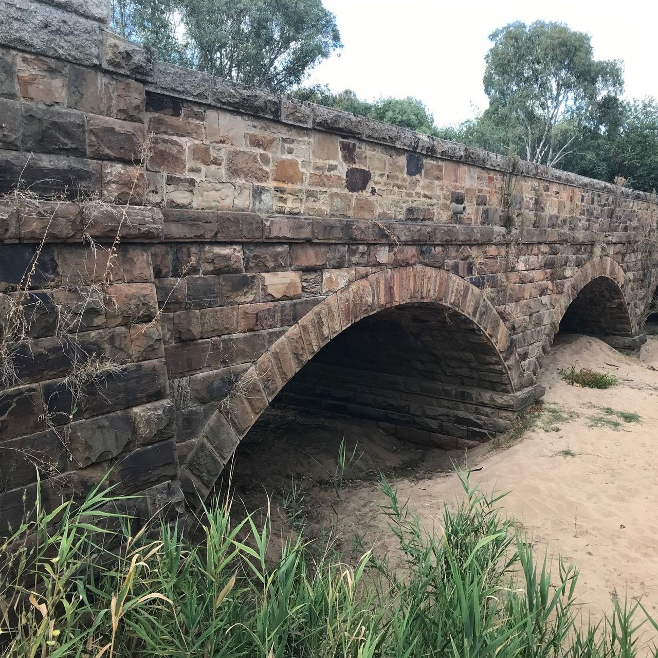
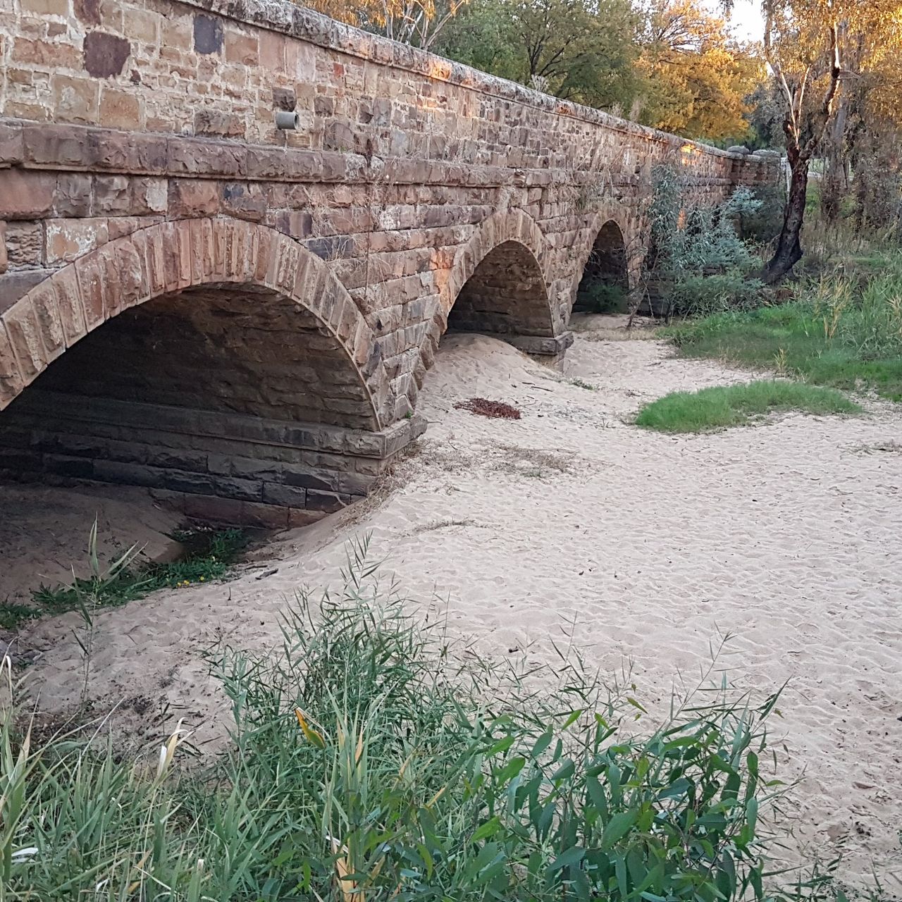
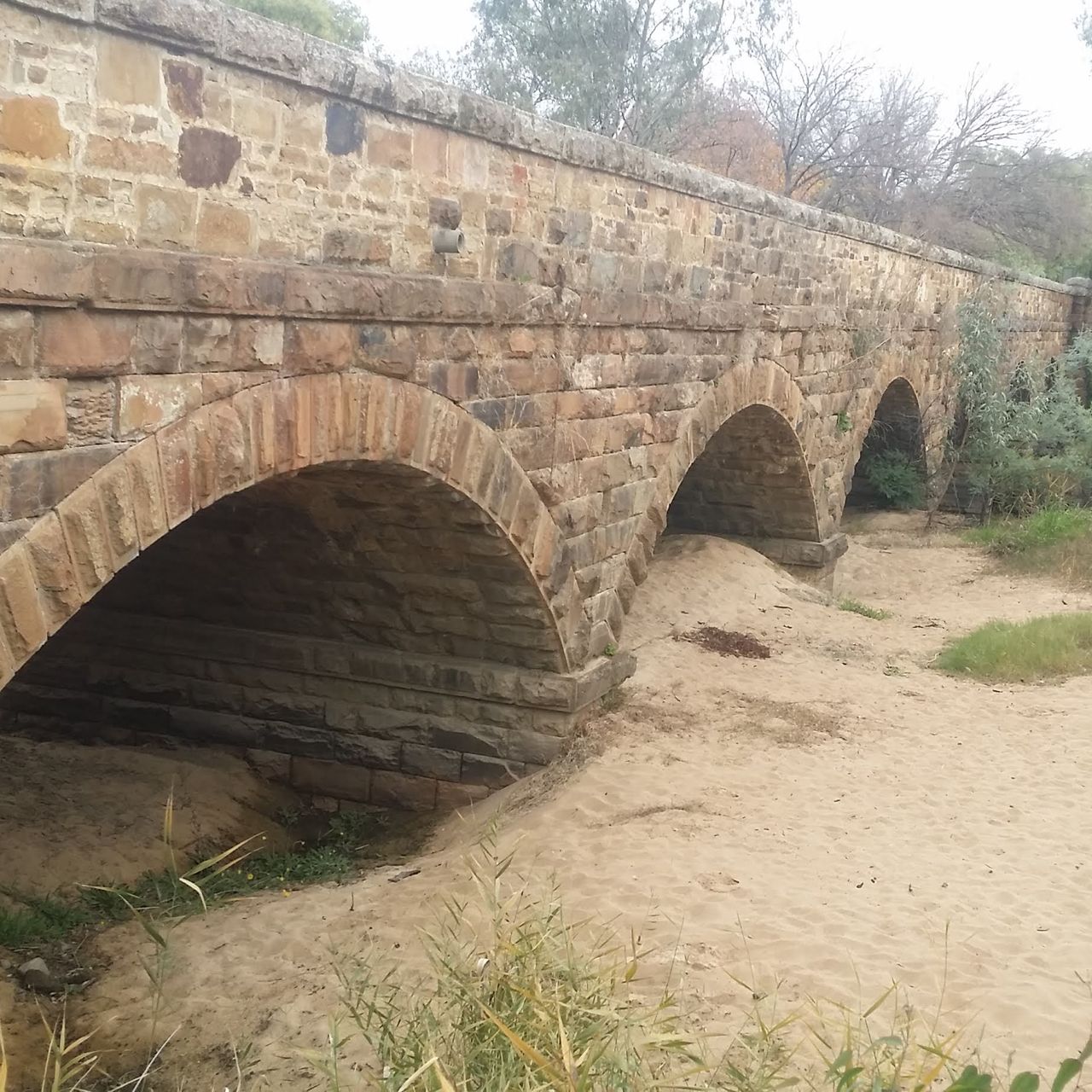
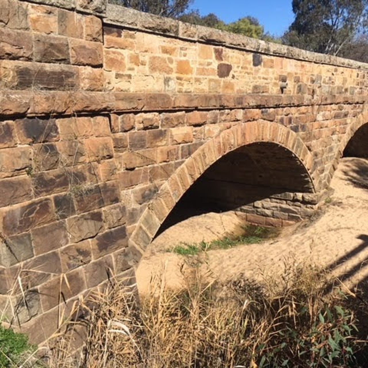
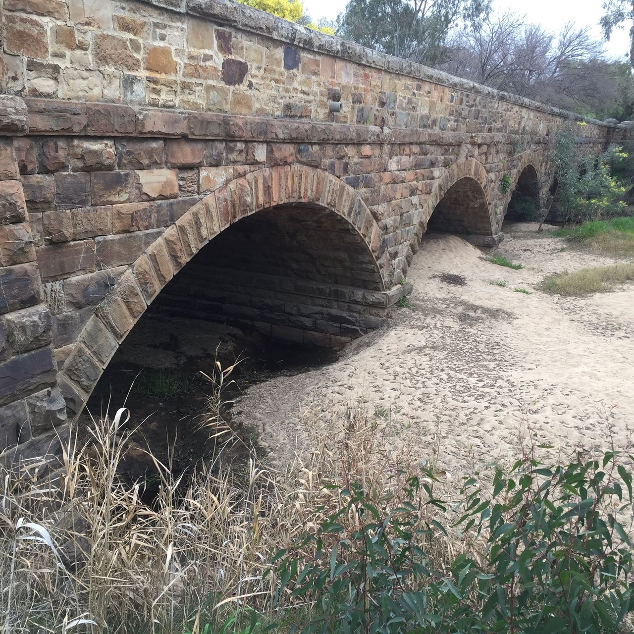
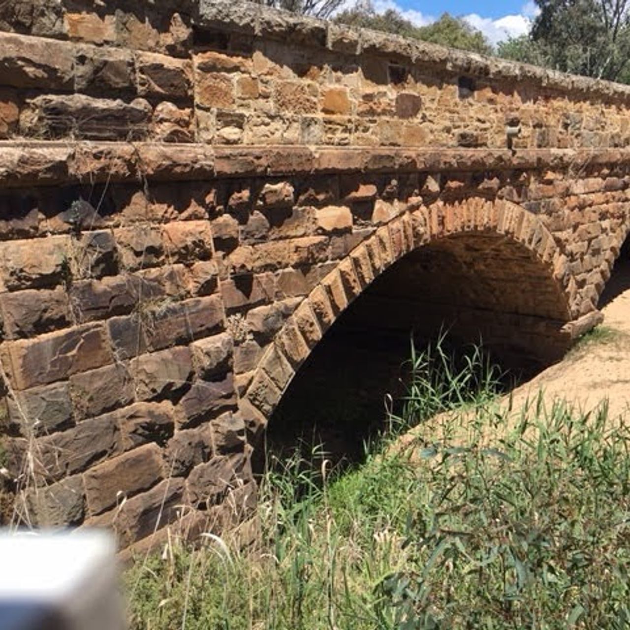
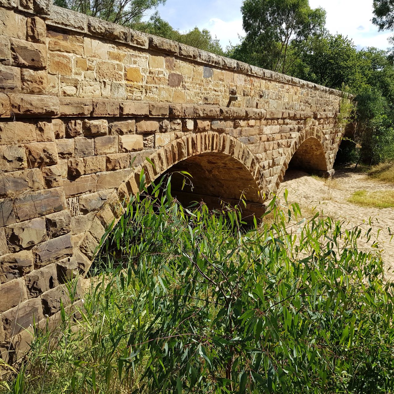
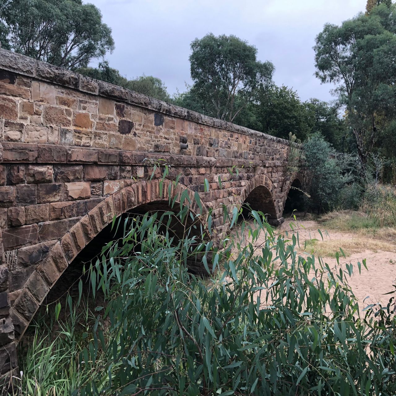
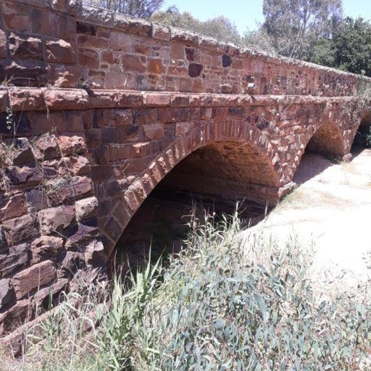
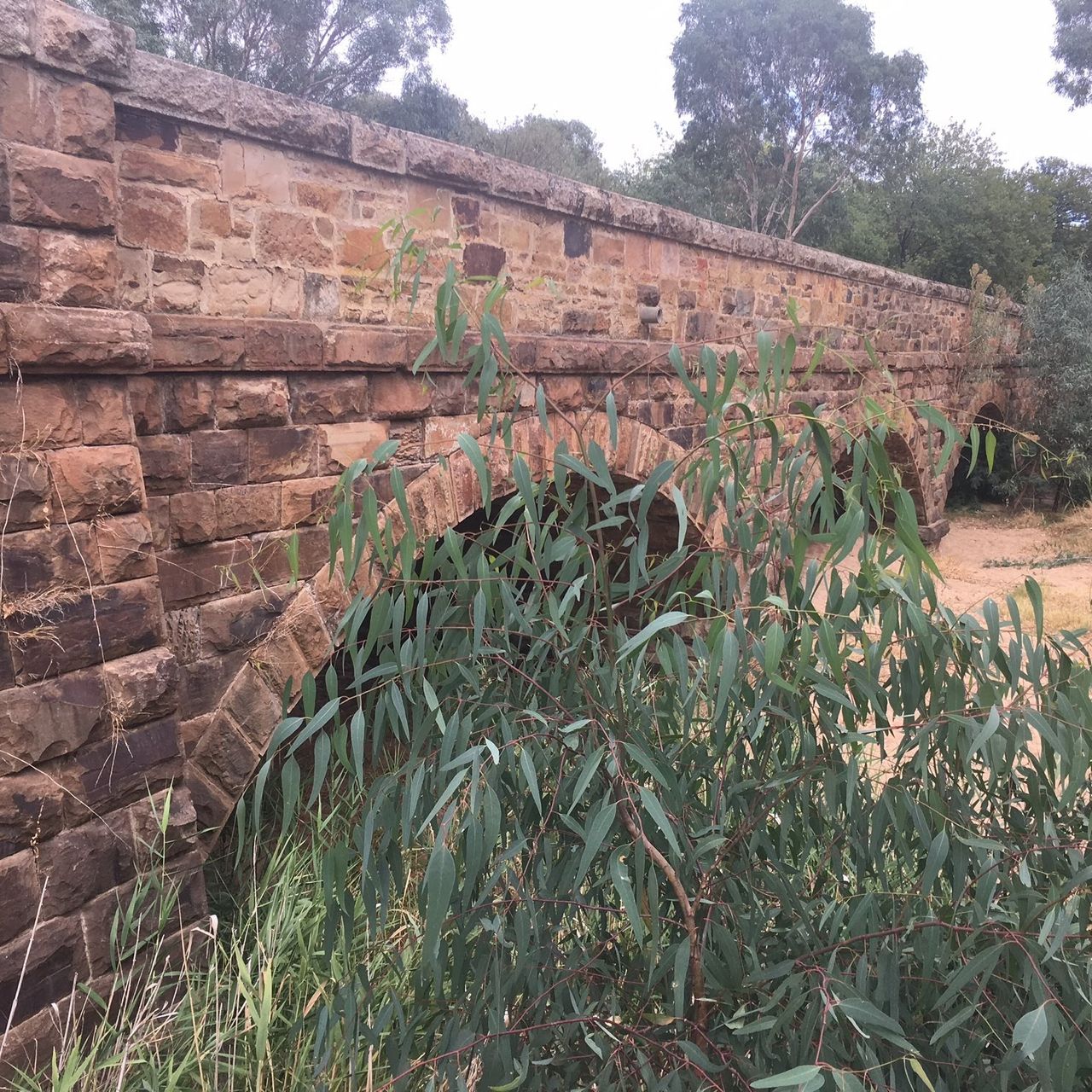
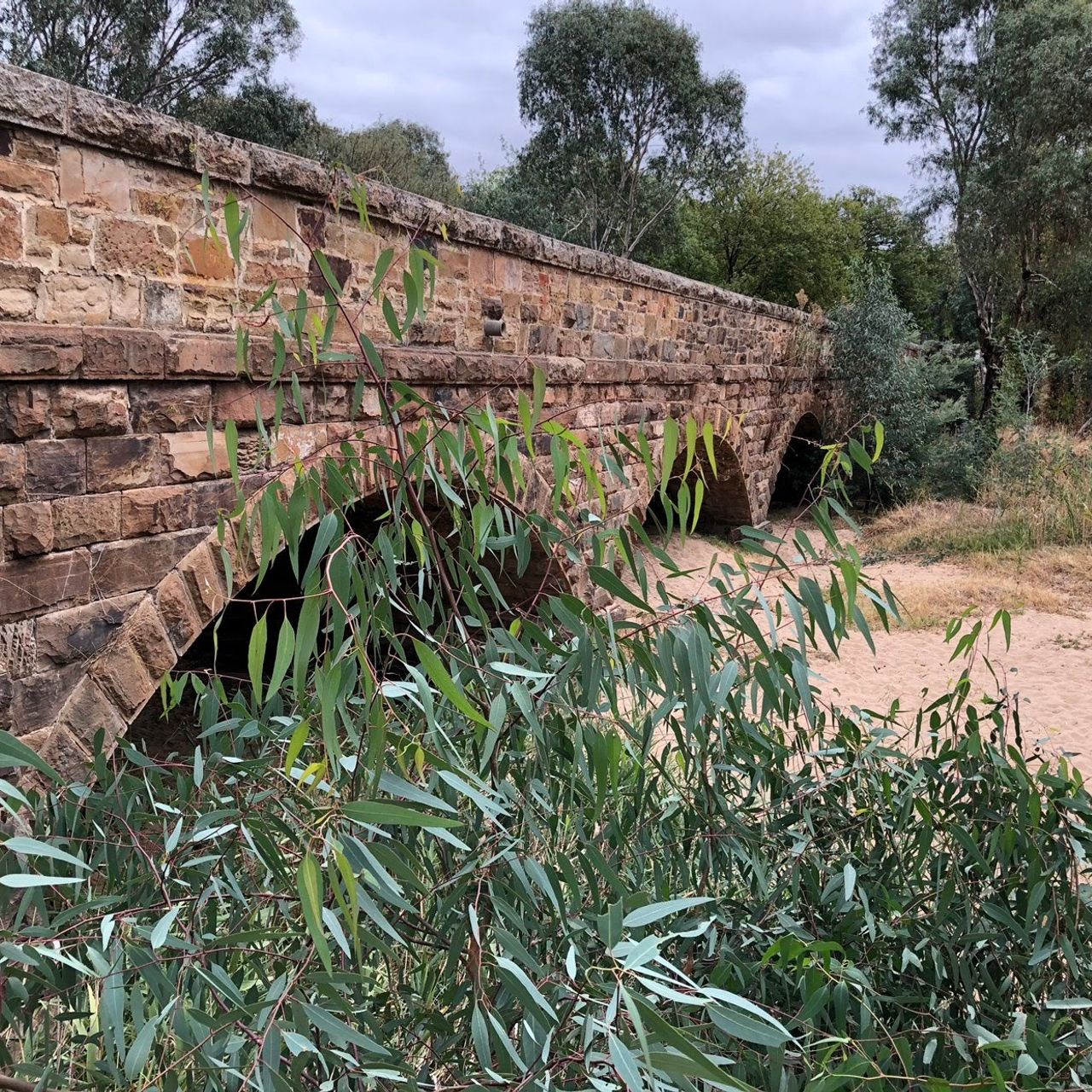
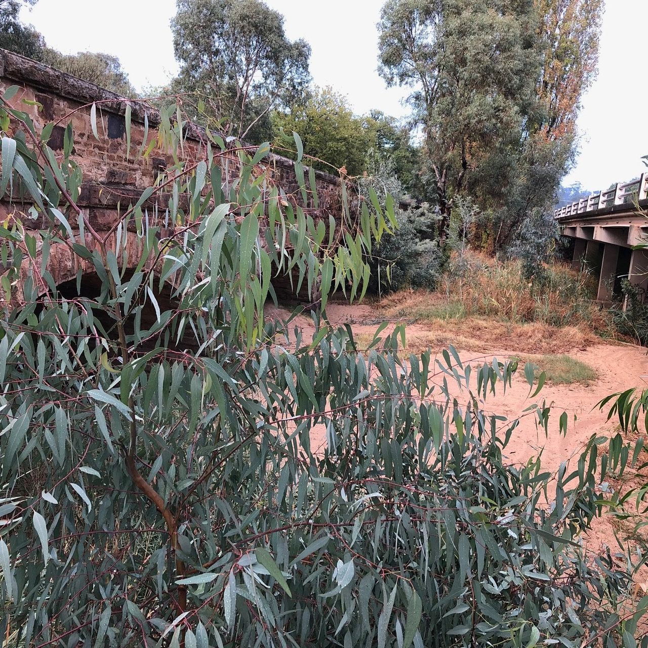
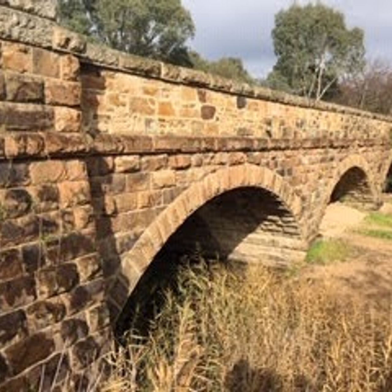
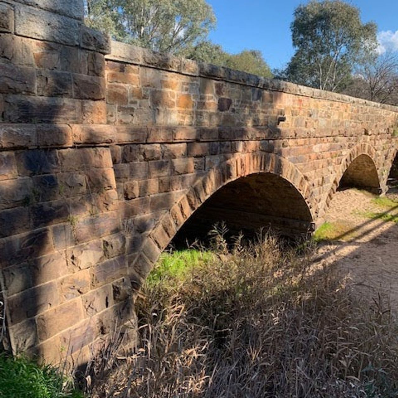
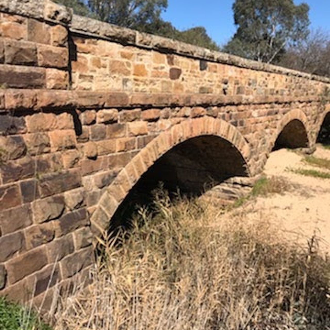
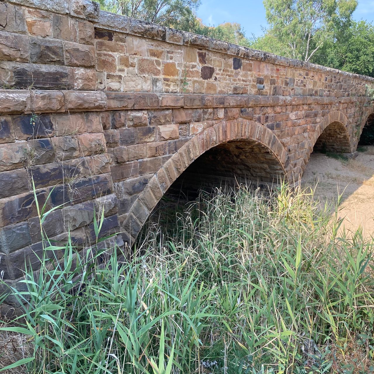
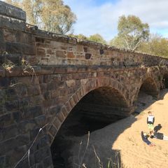
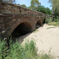
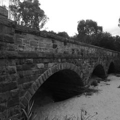
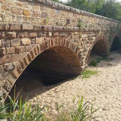
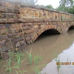
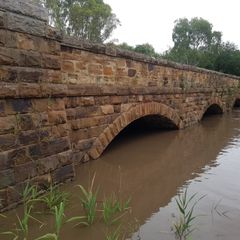
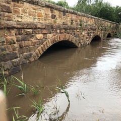
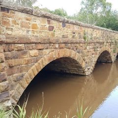
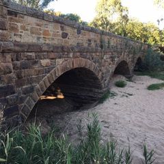
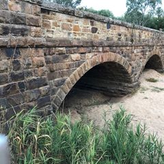
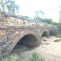
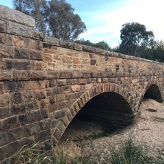
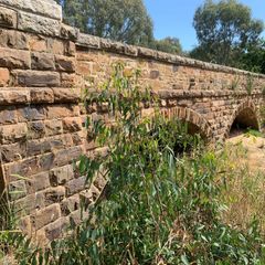
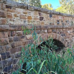
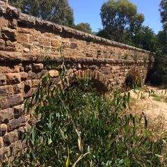
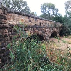
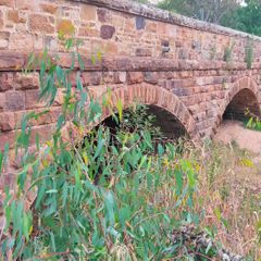
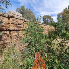
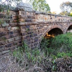
RIV11 Hughes Creek
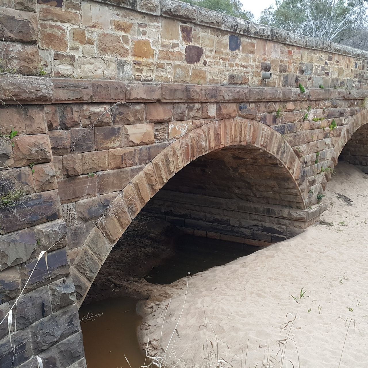
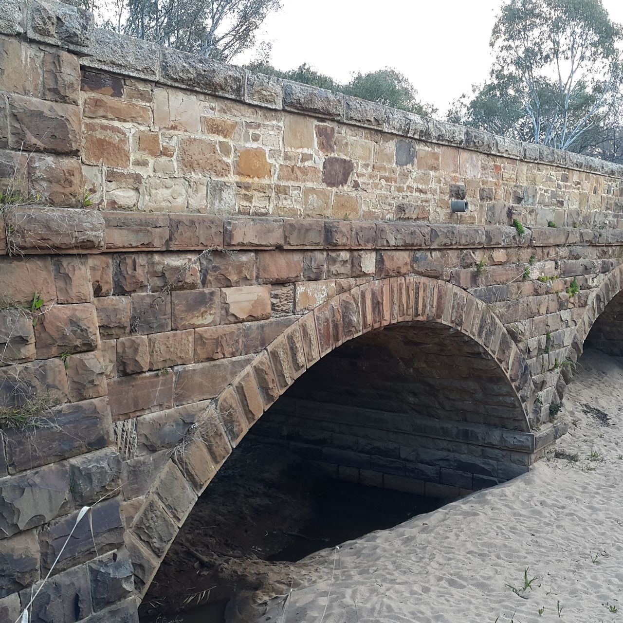
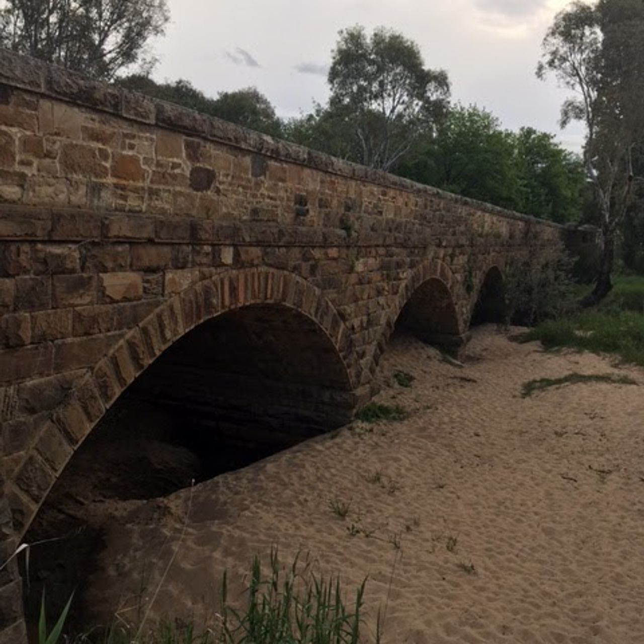
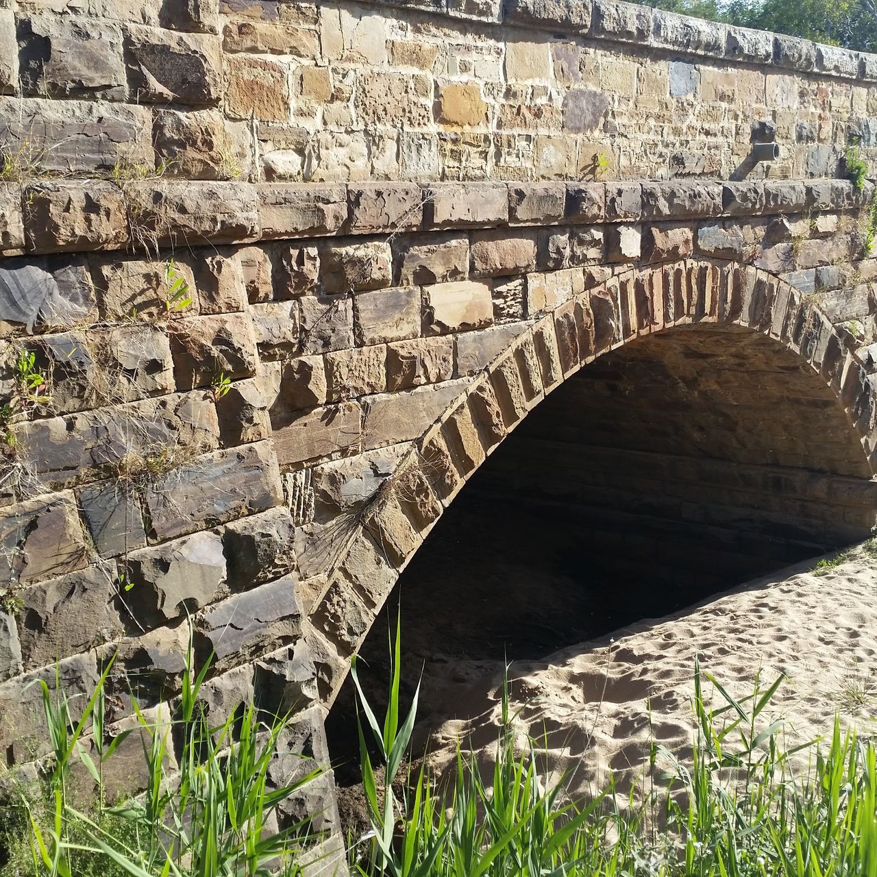
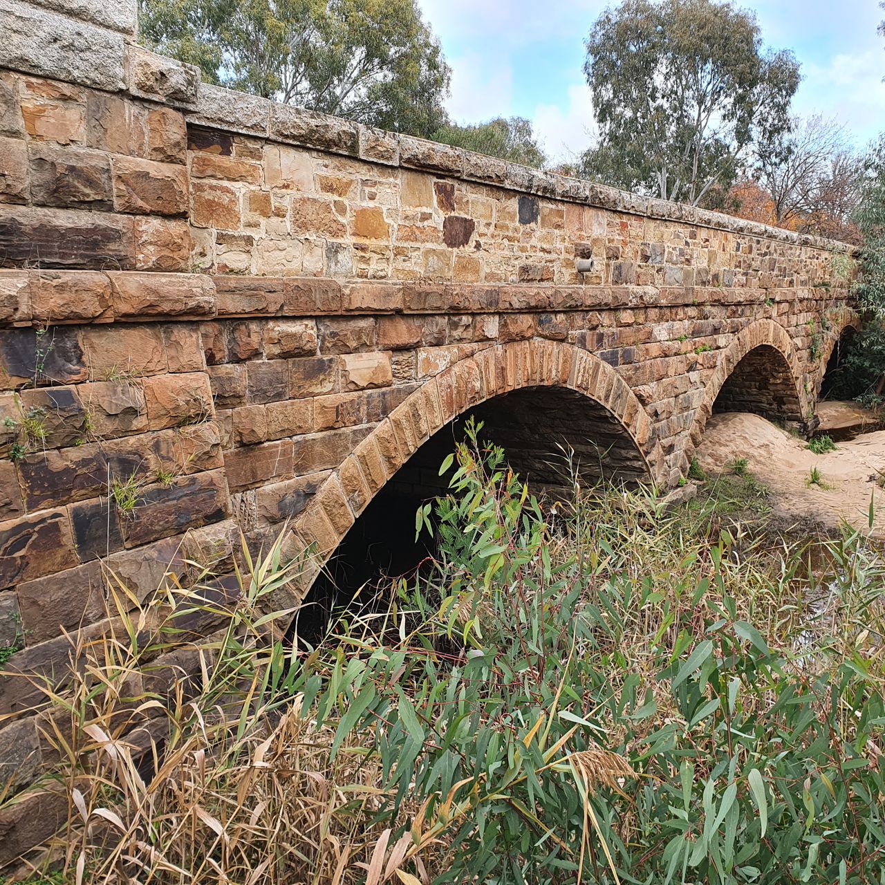
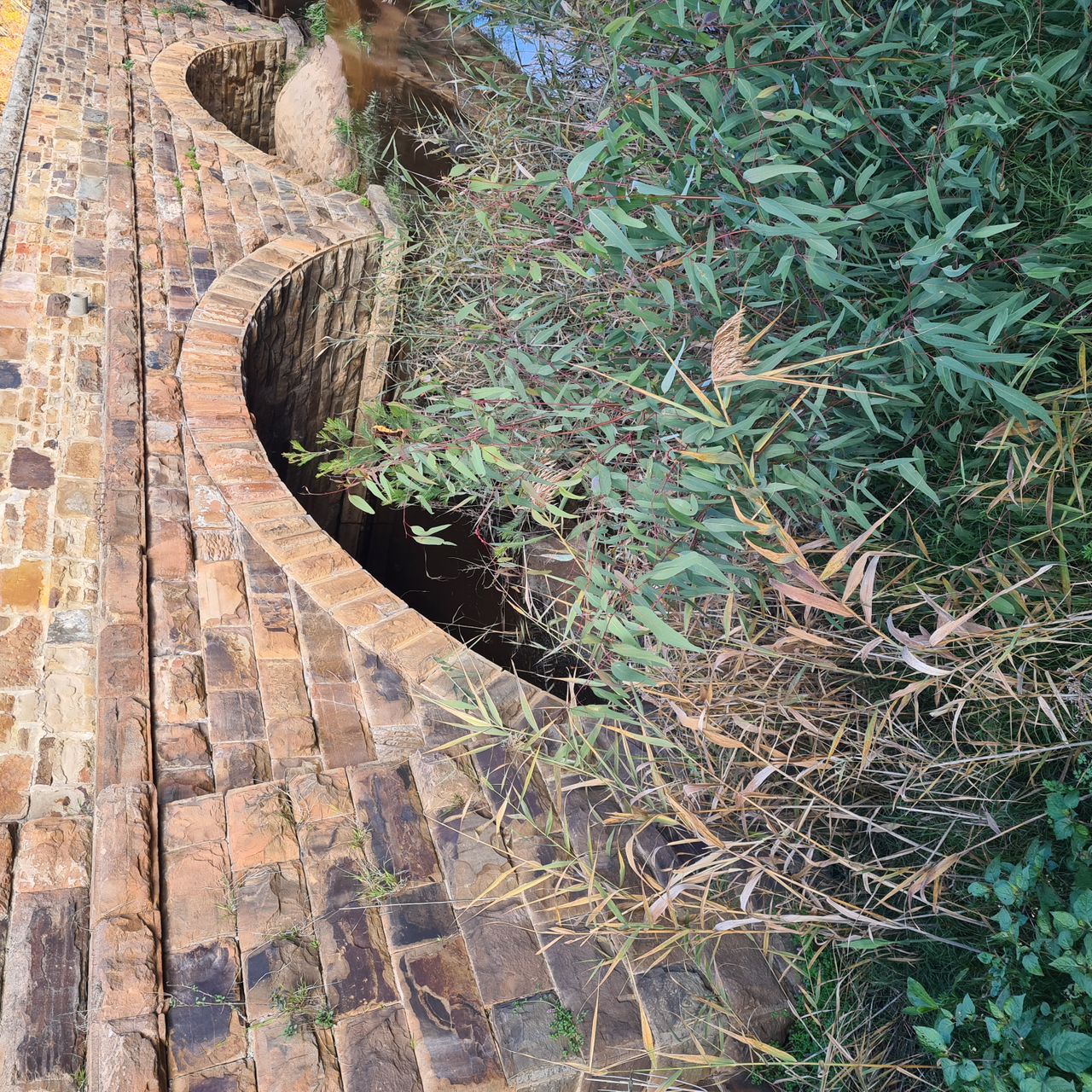
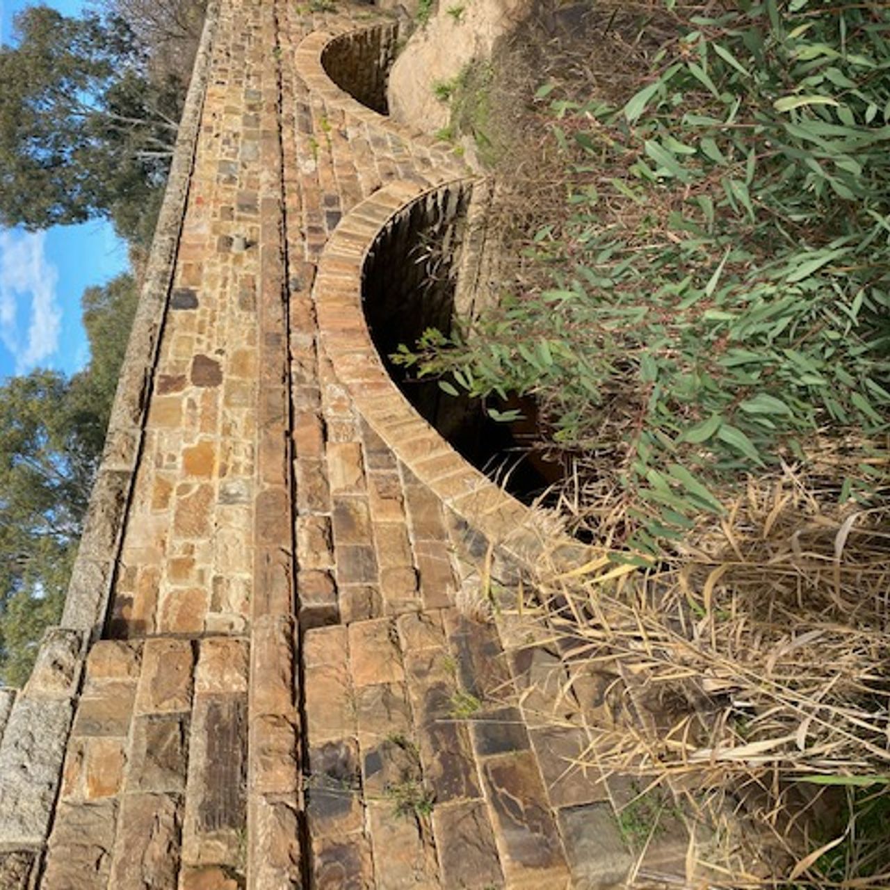
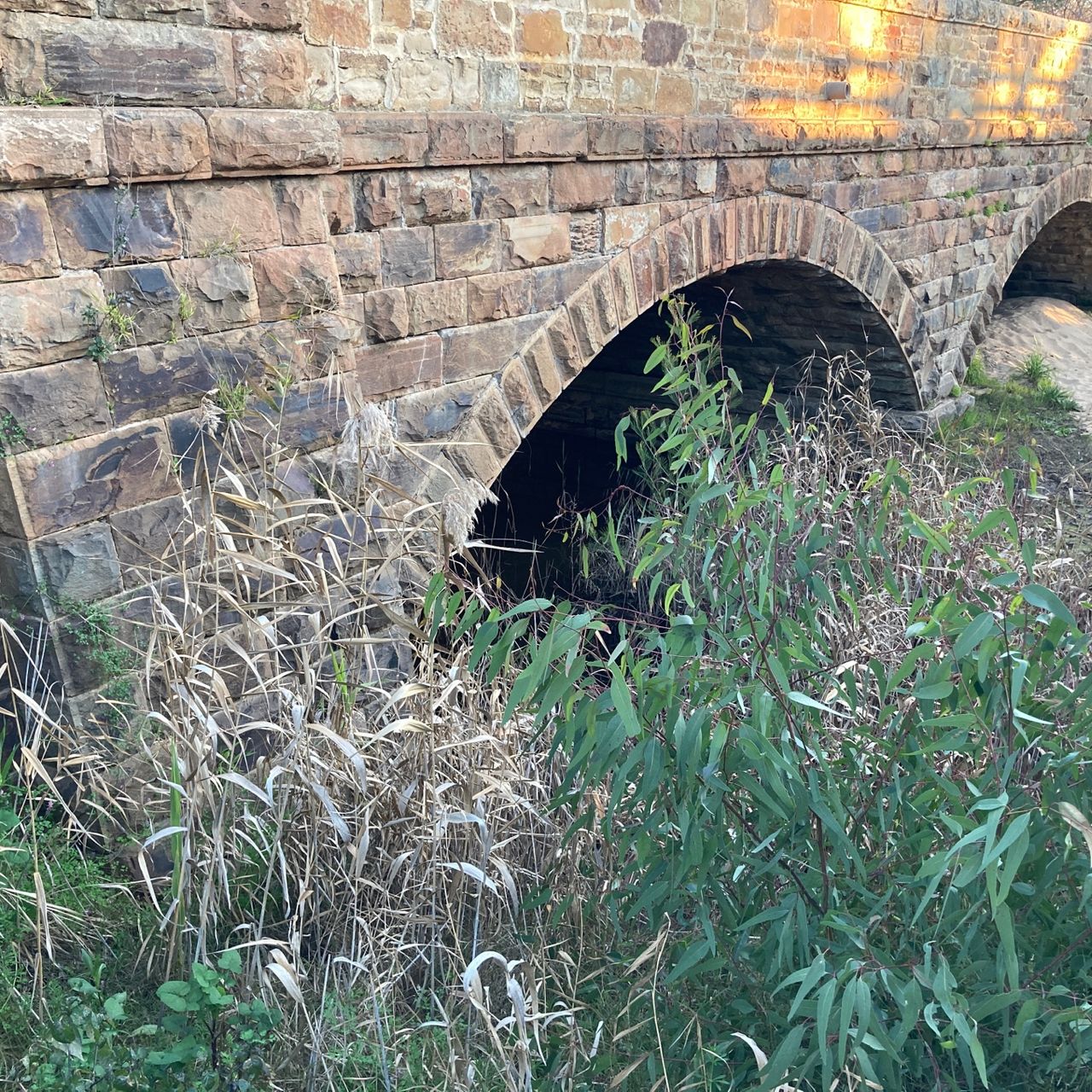
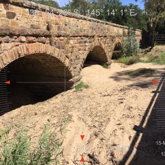
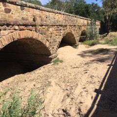
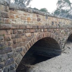
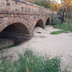
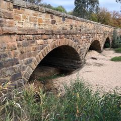
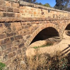
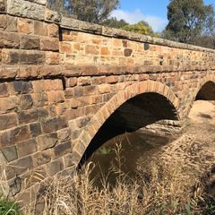
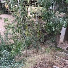
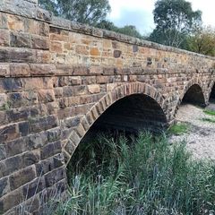
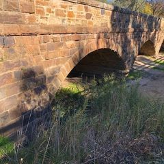
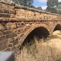
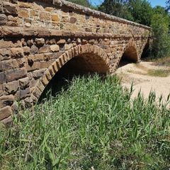
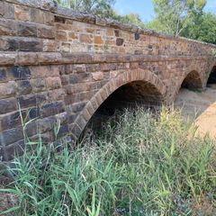
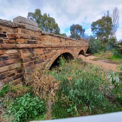
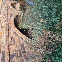
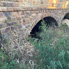
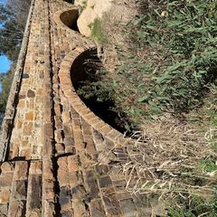
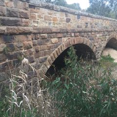
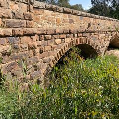
Depicting the historic Hume Highway bridge, images at this location will assist the Goulburn Broken Catchment Management Authority (GBCMA) to monitor changes in the sand deposits within the five bridge arches. It is anticipated that these sand deposits will move around in high flow events, even temporarily diminish and recreate the swimming holes utilised at times in the past. However, unless vegetation along the bed and banks of Hughes Creek are established up stream to stabilise the sand, the sand will not be held in place and will continue to build up in the low to moderate flows. The GBCMA is working with adjoining landholders to revegetate the bed and banks of Hughes Creek, which we hope overtime will present results with a reduction in the movement of ‘sand slugs’ that are these sand deposits travelling down the stream channel. Read more on the nearby sign or visit the GBCMA website to learn more about the Hughes Creek Project.